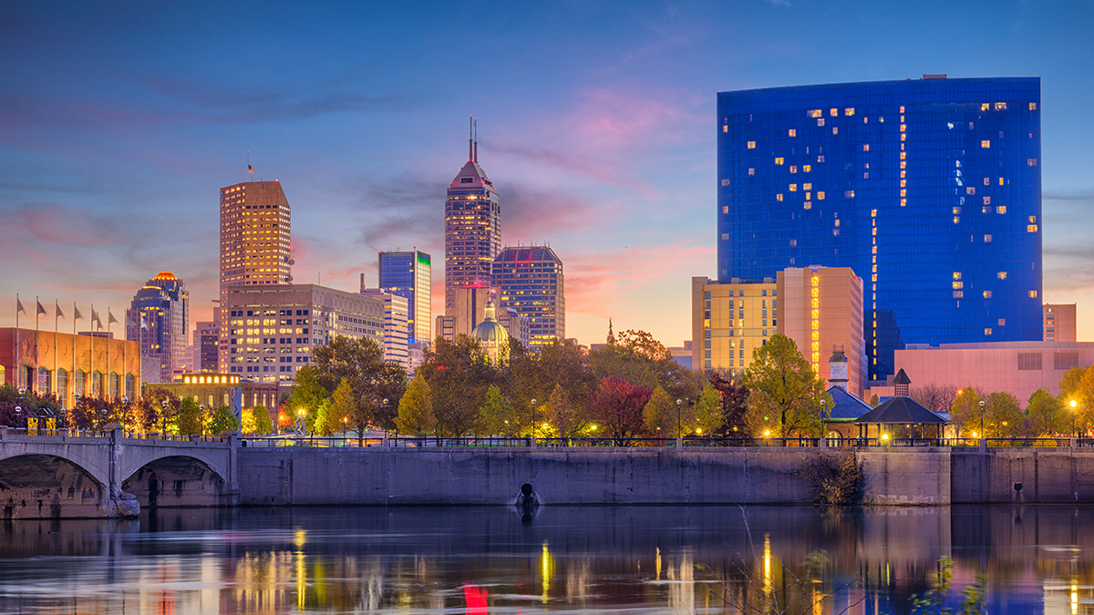
As a transplanted Hoosier when I first visited the city, I found navigating the city difficult – without an ocean or mountains to get my bearings, and somewhat unreliable GPS at the time, I often found myself going in the wrong direction. After visiting Indy a few times throughout the home buying process and now living in Indianapolis, getting around is pretty easy to do… especially compared to other major cities! Here a are a few tips that will help you get a lay of the land:
Some Background on the Design of Indianapolis
In 1820, the Indiana state legislature appointed Alexander Ralston and Elias Pym Fordham to survey and design a town plan for Indianapolis. Previously, Ralston had been a surveyor for the French architect Pierre L’Enfant and assisted him in laying out the plan for Washington D.C. Ralston’s original plan for Indianapolis called for a town of one square mile. Nicknamed Mile Square, the town was bounded by North, East, South, and West Streets (although they weren’t named at that time) with Governor’s Circle (now called Monument Circle) at the center of town.
Basic Driving Directions
- The city is divided east to west by Meridian Street and by north and south by Washington Street (which is replaced by Rockville Road on the west side when Washington Street veers to the south). When you drive east or west away from Meridian Street the street numbers increase. If you drive toward Meridian Street, the street numbers get lower. The same thing is true for driving toward or away from Washington Street if you are on a north/south street.
- A city block is one tenth of a mile. When at Tenth Street you are ten blocks and one mile from Washington Street. For example, if you are on 38th Street you are 3.8 miles north of Washington Street.
- The main interstate around Indianapolis is the 465 loop. I-65 and I-70 run through Downtown Indianapolis and are north/south interstates.
Other Ways to Get To and Around Indianapolis
Traveling to and around Indy is easy, convenient, and affordable, whatever mode you choose. Our airport has racked up tons of accolades for its smart design and top-notch service. Once on the ground, visitors find Indianapolis to be extremely walkable and easily navigated.
- IndyGo provides bus service with over 30 fixed routes from their downtown transportation hub. The new Red Lineis the city’s first bus transit line with electric buses, platform level boarding, and high frequency service to 13 miles stretching from Broad Ripple in the north, through the heart of Indy’s convention district, to the University of Indianapolis in the south.
- Known as the Crossroads of America, Indianapolis is within a day’s drive of over half of the U.S. population and within three hours of Chicago, Louisville, and Cincinnati. Traffic congestion is a rarity, visitors find the city’s grid layout straightforward, and downtown features over 73,000 parking spots.
- com named Indianapolis one of the best cities to see from a bicycle, thanks to the city’s flat landscape, innovative Indianapolis Cultural Trail, and abundance of bike paths. Some hotels offer guests complimentary bikes, or they are available at two convenient rental locations and through the new Pacers Bike ShareProgram.
National journalists have proclaimed Indy one of the most walkable downtowns in the country. On foot, visitors can reach hundreds of restaurants and attractions from their hotel and meeting space. An expansive network of climate-controlled skywalks connecting 4,700 hotel rooms to the convention center, Lucas Oil Stadium, a four-story mall, and restaurants keep it walkable in all weather.

